
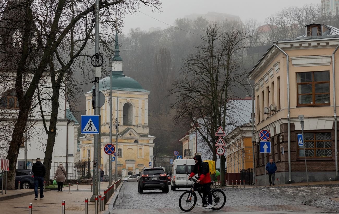
Ukraine will be hit by a sharp drop in temperature and snow: will it warm up by Easter – meteorologist’s forecast. Source: rbc.ua” +rel=”nofollow”
When to expect ground and air frosts?
Arctic air is bringing a sharp drop in temperatures to Ukraine, with wet snow expected in some areas. However, spring warmth is not planning to “hide” for long.
This was stated in a quick interview with RBC-Ukraine by meteorologist from the Ukrainian Hydrometeorological Center Ivan Semilit.
Key points:
- Cause of the cold snap: Arctic air from the north will be brought to Ukraine on the tail of a cyclone from Scandinavia.
- Precipitation: On April 7, rain is expected across most of the country, with wet snow on April 8-9 (except for the extreme south).
- Storm warning: On April 7, wind gusts in some regions will reach 15-20 m/s.
- Frost at night: Dangerous frosts are expected both on the ground and in the air.
- Forecast for Easter: On April 12, there will be intermittent rain in the south, east, and central regions, although daytime temperatures will be slightly warmer.
- Possible improvement: Warm weather may start to return more actively next week.
Why is the weather in Ukraine getting colder?
– The cold weather in Ukraine will be caused by a northern process in the atmosphere – the cyclone from Scandinavia.
It will be moving in an easterly direction.
And in its rear part, there will be an invasion of Arctic air from the northern directions into our territory.
What will happen with precipitation in the near future
– In the next three days, atmospheric fronts will periodically cause light to moderate rain in Ukraine.
On Wednesday (April 8, – Ed.) and Thursday (April 9, – Ed.) – with wet snow.
This is due to the fact that at altitude – in the upper layers of the atmosphere – we have negative temperature values. And because this atmospheric front will be passing through.
Droplets will freeze at the top and when they come down, they will slightly thaw because it is a bit warmer here. And because of this, we will have such wet snow.
It will mainly occur across the entire territory of Ukraine, except for the extreme south, so to speak.
It may also happen during the day.
Can wet snow “stay” on the ground?
– There will not be any significant accumulation of it (snow, – Ed.) observed.
Perhaps only in the Carpathians. But this is due to the fact that these are mountains. Therefore, there may be some accumulation there.
Otherwise, across the territory of Ukraine, it will generally fall and melt.
Will the wind add discomfort to Ukrainians?
– We will have fairly strong wind gusts. This may add to discomfort.
Regarding the air currents… Tomorrow afternoon, April 7, in the western regions, we expect wind gusts of 15-20 meters per second.
This is the first level of danger, yellow.
When and in which areas are frosts likely?
– On April 7 at night in the western, northern, and most central regions, and on April 8 and 9 in Ukraine we expect frosts on the ground of 0-3°C.
This is the first level of danger, yellow.
During the nights of April 7, 8, and 9 – in Transcarpathia, on April 8-9 – in Chernihiv, Sumy, Poltava, Kharkiv, and already on April 9 – in Dnipropetrovsk, Donetsk, and Luhansk regions – frosts in the air of 0-3°C.
This is already the second level of danger, orange.
Therefore, it is worth noting that frosts are also expected in the air on these dates.
 Frosts are likely in most regions of Ukraine (infographic: RBC-Ukraine)
Will the weather change before the weekend?
– Before the weekend – on April 10 – the synoptic situation in Ukraine will continue to be shaped by a field of lower atmospheric pressure, that is, a cyclone.
And in some places, there will be light rain and wet snow.
Only in most western and northern regions will we have dry weather during the day.
What might the weather be like on Saturday and Easter?
– On April 11, Saturday, it will be mostly dry.
Only in the east and southeast of the country during the day – light rain.
This is because this field of lower atmospheric pressure will essentially be forming over the Black Sea, from that side. And it will cause light rain there.
Regarding Easter… If we look at April 12 and 13 (it is described more generally here), then in the south, east, and central regions – there will be intermittent rain.
In the rest of the territory, we will have predominantly dry weather.
At night, frosts will prevail of 0-3°C. Only in the south and southeast of the country will the temperature values be slightly higher – within 1-6 degrees Celsius.
Daytime maximums will already reach 7-14°C. Therefore, it will generally be a bit warmer.
.jpg) On Easter, it may be slightly warmer during the day than before (infographic: RBC-Ukraine)
On Easter, it may be slightly warmer during the day than before (infographic: RBC-Ukraine)
When might a noticeable warming come to Ukraine?
– In the future, we expect that temperature values will rise slightly. And it will become somewhat warmer.
If we rely on the advisory forecast we have, then nighttime temperatures will already be within 4-10 degrees Celsius.
And daytime maximums will reach +13+20°C in some places.
This will be on April 14-16. Already then, closer to the end of next week.
Recall that earlier we reported in which cities of Ukraine it was historically warm in March and when exactly new temperature records were set.
In addition, we explained why spring actually comes three times and what it depends on.
Also read about what April might be like in Ukraine as a whole.
Source: rbc.ua


